

A Hundred Years of Archaeological Excavations in the Wrong Places
Summary
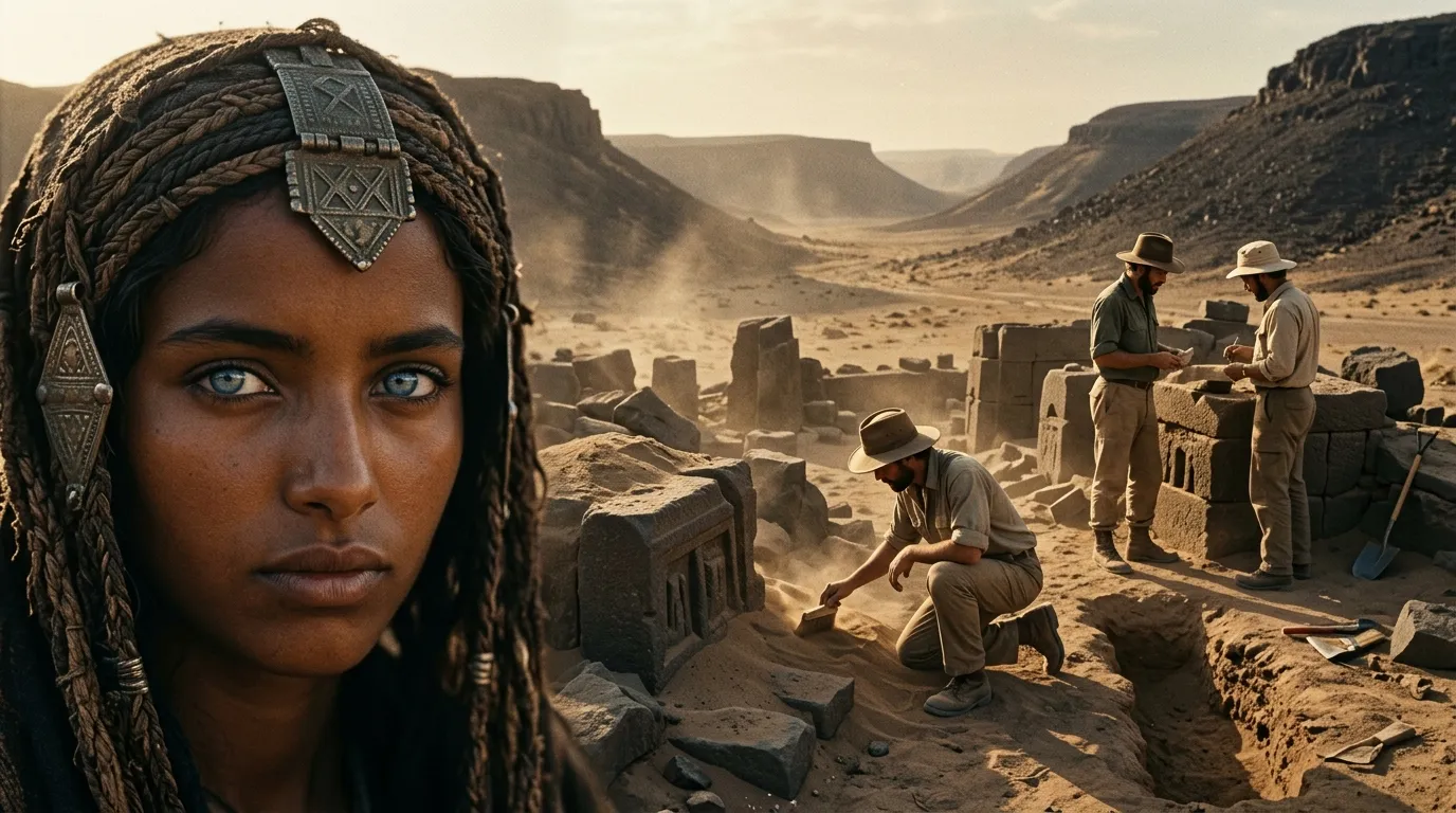
In 2027, the map of the ancient world might be turned upside down from its edges. The desert of the Peninsula and the floor of the Mediterranean are forcefully entering the archaeological sample, and with them, narratives forged by a century of selective digging may collapse.
This summer, a field survey in Upper Najd yielded 103 new archaeological sites. Weeks earlier, another survey in Al-Mahd Governorate concluded with the recording of 156 new sites and 1,774 finds, including inscriptions, rock art, structures, and caravan routes. The most significant meaning of these figures is that the map of places where we search is expanding faster than archaeology is accustomed to.
Here begins the shift that could make 2027 a disturbing year for some deeply ingrained perceptions of the ancient world. Archaeological history is, ultimately, built on a sample. And this sample was never balanced: famous cities were excavated generation after generation, while other regions remained beneath sand, lava, or water because access to them was harder, funding lower, and their antiquities less enticing to early expeditions. Specialists call this «Sampling Bias». When the search location changes, the weight of societies within the historical narrative changes.
Northwestern Arabia reveals the scale of what was absent from the history of civilization. The Royal Commission for AlUla states that its work in AlUla, Khaybar, and Tayma has so far identified more than 37,000 sites, and that over 200 archaeologists typically work during the autumn, winter, and spring seasons within a program averaging about 12 projects. With the Heritage Commission announcing that the next phase of the Upper Najd survey will include completing surveys, specialized studies, and adding new sites to the national register, the last quarter of 2026 and the first quarter of 2027 enter a wave of work that will intensify the settlement map itself, not just the yield of objects displayed in museums.
Evidence of the significance of this transformation has already emerged from Khaybar, where a peer-reviewed study in PLOS ONE documented the fortified town of al-Natah, spanning an area of nearly 2.5 hectares with an estimated population of around 500 people, beginning in the third millennium BCE and continuing until around 1500 BCE, and possibly to 1300. Researchers found a model they termed «Slow Urbanism», described as a settled community with streets, crafts, fortifications, and internal organization, yet far smaller than the ancient city-states we are used to taking as the benchmark of civilization.
Here, the picture suddenly changes. Between a pastoral campsite and a major metropolis, there was a vast social space that almost disappears when excavations focus on capitals and massive centers. Al-Natah restored this space to the map by revealing small towns inside walled oases, connected to trade, agriculture, and mining, possessing a degree of organization that required no royal palace or written archive to exist. The site did not merely add a new name to the list of sites; it demonstrated that our old classification of societies was perhaps poorer than the societies themselves.
Turkey pushes the experience from another angle, as the Turkish Ministry of Culture and Tourism states that the country witnessed 776 archaeological activities in 2025 and expects to reach 800 in 2026. The number of excavation sites reached 255 across 65 provinces, and 29 excavations led by foreign missions were incorporated into a 12-month work schedule, while total support for the «Legacy for the Future» program reached 7.5 billion liras.
At this point, a crucial challenge emerges: an excavation can be opened faster than it can be understood. Every exploratory process yields pottery, bones, seeds, metals, and strata that require dating, restoration, comparison, and publication. Therefore, the value of additional spending in 2027 is likely to shift gradually from increasing the number of sites to raising laboratory capacity, lengthening the analysis phase, and connecting restoration to scientific publication. Reaching 800 activities becomes a figure of limited meaning if years of unpublished material accumulate behind it.
In this context, Italy began tackling the problem through its driest yet most essential avenue: data format. Since July 1, 2026, a new version of the submission system in the Italian National Archaeological Portal entered into force. This release allows universities and institutes to submit data directly, records its origin and collection methodology, standardizes the description of interventions, and adds input quality checks. These may seem like bureaucratic rules, but they change what a researcher can do ten years from now: thousands of excavations speaking the same digital language become a single comparable sample.
The European Union is building an upper layer on top of that through the «European Collaborative Cloud for Cultural Heritage», where declared allocations for its three construction phases reach approximately 109 million euros, covering basic infrastructure, digital tools, and real-world user testing. The stated goal points to making heritage data interoperable and jointly analyzable. AI will undoubtedly gain its true utility there; once pottery records, dating, 3D images, and excavations become comparable, it can discover connections that a single researcher's eye fails to see across thousands of separate files.
As for the Mediterranean, it has begun entering the sample far more forcefully. The Greek Ministry of Culture's 2026 program includes underwater research west of Crete and Antikythera, in Franchthi Cave, shipwrecks in the port of Rhodes, and a geophysical survey of the port of Kyllini. The significance goes beyond finding sunken ships. Mediterranean trade history was largely written from ports, warehouses, and goods that reached land; shipwrecks document the journeys that failed to arrive. It views trade from the side that terrestrial sources were erasing.
In Iraq, risks will dictate a different path, seen in the 2026 World Heritage Committee request regarding Samarra to continue surveying, documentation, and conservation planning, and to conduct heritage impact assessments for major projects before making decisions that are hard to reverse, setting February 1, 2027, as the deadline for the next report. Here, discovery sometimes becomes a rescue operation for information before urban expansion or bulldozing swallows it.
Then comes the real challenge that will grow with all these precise maps: archaeological data itself, which might become broadly vulnerable. The Saudi Heritage Commission recorded 55 violations during the second quarter of 2026, including unlicensed excavation and surveying, drone usage, and publishing location-linked information. Every more precise database serves the researcher, but it can also serve the looter. Therefore, I expect tiered-access systems to expand during 2027: broad data for research, and coordinates and sensitive details accessible only by permit.
The indicator worth tracking until March 2027 is the number of sites transitioning from a «discovered point» into a testable record containing precise coordinates, described strata, reliable dating, analyzed materials, and data comparable with other sites. If this percentage rises, the impact will appear first in maps of settlement, trade, and migration before reaching museum halls. And the greatest discovery in 2027 might be a century-old mistake in the places we chose to dig.
Before it happens

حين يصبح الاكتشاف العلمي أرخص من هاتفك... مَن سيشتري مستقبل العالم؟

Debt-Ridden Countries May Be Wealthier Than They Appear

The Soaring Economy and the Crawling Citizen... Has the Renaissance Begun in Rwanda and Guinea?

What if Lies Became Provable and the Truth Became Deniable?
Weekly Newsletter
Read between the lines before everyone else. Decode the most important economic, tech, and decision-maker movements in the region.. in 5 minutes every Saturday.